This post contains affiliate links. If you click and purchase, we may earn a small referral fee at no extra cost to you. Read our full disclosure.
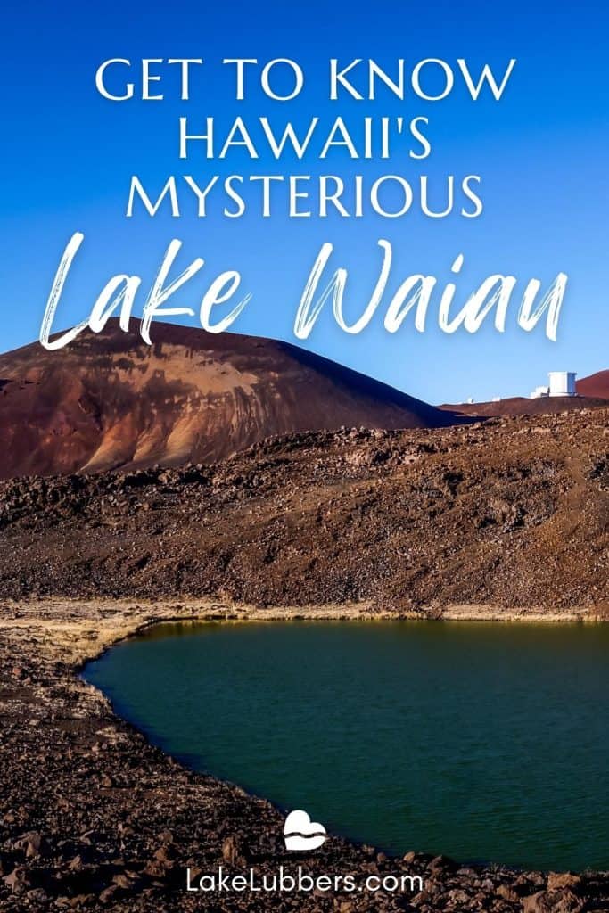
Measuring just two acres in surface area, tiny Lake Waiau is one of the highest elevated lakes on the planet. Located at 13,020 feet above sea level on the Big Island of Hawaii, Lake Waiau lies near the summit of extinct Mauna Kea volcano (13,796 feet).
Tucked within the crater of Pu’u Waiau cinder cone in the Mauna Kea Forest Reserve, it’s one of just a very few lakes in the state of Hawaii. Despite its tropical location, Lake Waiau freezes during winter. Waiau means “swirling water” in the Hawaiian language.
What is the source the water at Lake Waiau?
The source of Lake Waiau’s water is a bit of a mystery. Aside from rainwater and snowmelt, there is no apparent source of water inflow to Lake Waiau – no underwater spring, no river or creek.
Many scientists believe that Lake Waiau’s primary water source is permafrost, a thick layer of frozen soil that lies underneath the lake. The permafrost melts as needed to replace water that evaporates from Lake Waiau’s surface.
The lake shrank to less than 2 percent of it’s original surface size between 2010 and 2013. The exact cause is unknown, but experts suspect drought conditions and thawing of the presumed permafrost layer beneath the lake led to an increase in seepage.
However, after an especially wet winter in 2013-2014, Lake Waiau was back to approximately 75 percent of it original size. By May of 2014, it had returned to it’s usual size.

Hiking at Lake Waiau in Hawaii
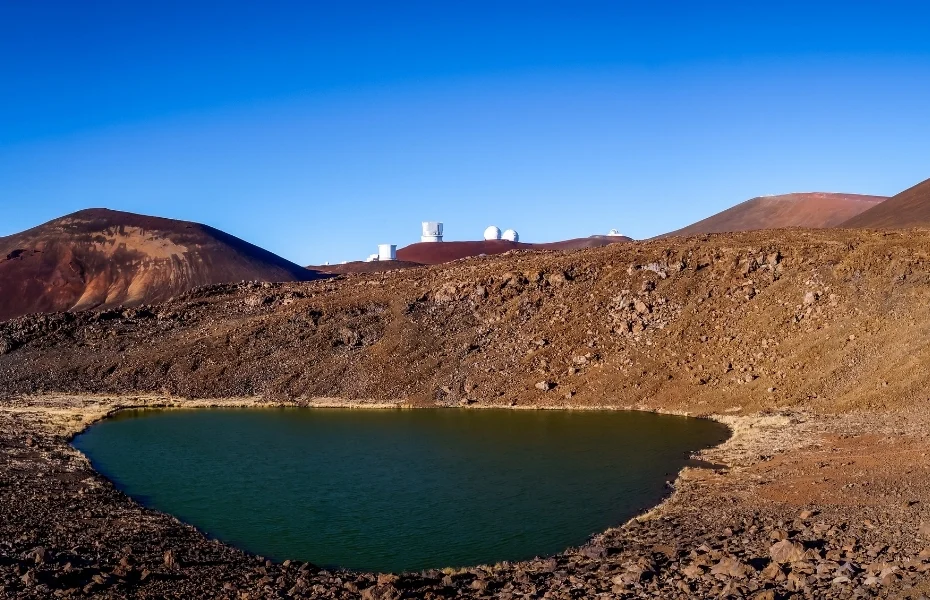
Lake Waiau is a 30-45 minute hike off the road that leads to the peak of Mauna Kea. Parking is provided near the path that leads to the lake.
Because of the high elevation and a pebbled hiking surface, hiking from the parking area to Lake Waiau is relatively challenging. Pack plenty of water and a picnic lunch to enjoy the lake and its heiau (Hawaiian sacred place).
Then, drive to the volcano’s summit, home to the 500-acre “Astronomy Precinct” established in 1967, where observatories operated by international organizations point their telescopes toward the heavens.
Mauna Kea has many similar chemical and physical characteristics as the moon’s surface. In conjunction with Hawaii’s Pacific International Space Center for Exploration Systems (PISCES), NASA has chosen a spot on Mauna Kea’s lower slope that represents a lunar crater.
In 2010, the agencies began simulating the moon’s surface and other environments on the ancient slope, and the research on Mauna Kea helps generate new industries on earth while supporting future space missions.
10 Most Unusual Lakes in the World
With more than three million lakes around the world, you’ll find plenty that could be considered strange, bizarre, crazy, unique or unusual lakes. Lakes exist in nearly every habitat, including deserts, rainforests…

